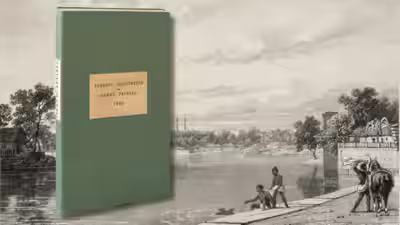





In 1816, a London mapmaker produced a giant folding map of India dedicated to the East India Company’s directors; more than 200 years later, the hand-coloured map sold for Rs 31.2 lakh, over 10 times its high estimate
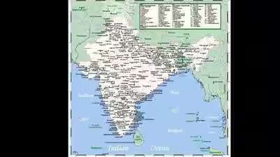
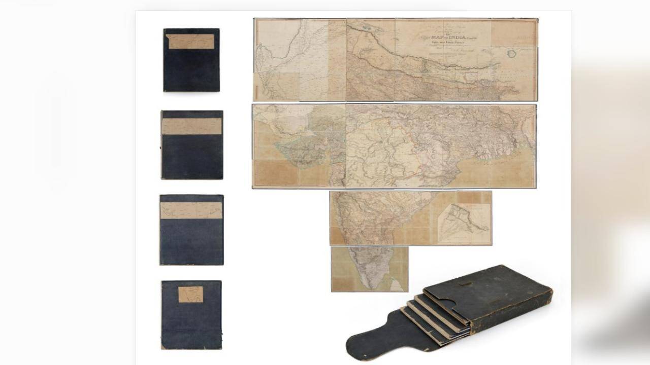
A London-based mapmaker created an extraordinary map of India over two centuries ago. It was the time when the Indian subcontinent was being mapped through surveys, military expeditions and geographical observations. Measuring nearly 2.4 metres by 2.67 metres when assembled, the hand-coloured map was dedicated to the directors of the East India Company, reflecting the growing importance of geographical knowledge in colonial India.The map made headlines in August 2025. The historic map of India (in the art and collectibles world) was sold for Rs 31.2 lakh at an auction organised by Saffronart. The winning bid, inclusive of the buyer’s premium, was more than 10 times the map’s high estimate of Rs 3 lakh. The result highlighted the enduring appeal of rare historical maps, which offer collectors more than an antique object. It provided a glimpse into how India was understood, represented and governed during the colonial era.Who created the historic map of India?
Map of India
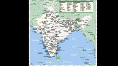
Not many must be aware of the fact that the Indian map was created by Aaron Arrowsmith, an English cartographer and map publisher who lived from 1750 to 1823. Published on January 2, 1816, the work was titled This Improved Map of India Compiled from all the Latest & most Authentic Materials.Its full dedication addressed the Honourable Court of Directors of the East India Company. It described Arrowsmith as their “most Obedient & most Humble Servant”.Published from his premises at No. 10 Soho Square, London, the map was a substantial cartographic undertaking intended to bring together the best geographical information available at the time. Arrowsmith’s work drew on earlier surveys, including those of James Rennell, widely recognised as the first Surveyor General of Bengal.It also incorporated route surveys conducted by East India Company military engineers. The auction catalogue further identifies contributions from figures such as the Duke of Wellington, Sir John Malcolm, General Kyd and Colonel Colin Mackenzie, whose mapping of Mysore helped inform Arrowsmith’s revisions.A giant map that could be folded and stored
Map of India
One of the most amazing things about the map was its size. As per Saffronart’s catalogue, the example sold at auction measured 94.5 by 105 inches, or approximately 240 by 267 centimetres, when all its sections were joined. It was made using copperplate engraving, printed on paper, and finished with original hand-applied colours. The individual sections were mounted on linen and edged with blue silk.The map was divided into sections that could be folded and stored. It was preserved in four volumes with leather-bound cases, making it possible to transport and handle a work of such considerable dimensions.Why was mapping India?In the early 19th century, geographical information was closely linked to the expansion and administration of British power in India. As the East India Company’s territorial influence grew, so did the demand for maps that could bring together information about regions, settlements, rivers and routes.The map was also a product of its time. Its dedication to the East India Company’s directors was not merely ceremonial; it reflected the close relationship between cartography, imperial administration and political influence.From a colonial-era document to a sought-after collectibleThe map was offered as Lot 23 at Saffronart’s auction titled A Distant View of India: Books, Maps, Prints and Photographs from the 17th to 20th Century, held on August 6–7, 2025.Its estimated price was Rs 2 lakh to Rs 3 lakh. However, the winning bid reached Rs 31.2 lakh, including the buyer’s premium, equivalent to approximately US$35,862 as recorded in the auction catalogue. The final amount was more than 10 times the upper estimate.The auction result underscores why historic maps can command considerable interest among collectors. Their value depends on several factors, including rarity, historical importance, physical condition, original colouring, surviving bindings and the completeness of the work. In this instance, the map’s enormous scale, original hand-colouring and connection to the history of British India made it a particularly notable offering.For modern viewers, the map is a record of a period when the act of mapping India was closely connected to the ambitions of an expanding empire. Its sale for Rs 31.2 lakh shows how a document originally created to serve colonial interests can, centuries later, become a valuable historical artefact.